US & Canada Pacific Coast, Hawaii, Alaska, Mexico to Panama - C-MAP Mega Wide Chart
C-MAP Mega Wide Chart - U.S. & Canada Pacific Coast, Hawaii, Alaska, Mexico to Panama. Vector charts, 3D data & standard resolution satellite photos.
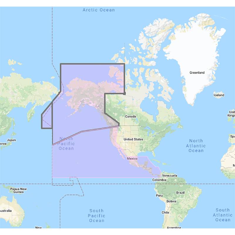
This Chart Pack includes vector charts, 3D data and standard resolution satellite photography for the US and Canadian Pacific Coast, Hawaii, Alaska, and Mexico to Panama. C-MAP chart data is used and converted to the TimeZero format.
These C-MAP charts are comprised of the same cartographic chart information found in C-MAP MAX and C-MAP MAX PRO charts.
currently out of stock